DX Group Improved Efficiencies and Reduced Costs by 10%
DX Group and Integrated Skills Limited (ISL) combined the power of RouteSmart for ArcGIS route optimisation with local knowledge to deliver large cost reductions without customer service disruption.
DX Group and Integrated Skills Limited (ISL) combined the power of RouteSmart for ArcGIS route optimisation with local knowledge to deliver large cost reductions without customer service disruption.
THE COMPANY
DX Group is an industry-leading provider of parcel freight, secure, courier and logistics services in the UK and Ireland. The company offers multiple services to business and residential addresses including the collection and delivery of secure and signed for documents for the legal, financial and public sectors as well as standard packages and letters.
THE CHALLENGE
The company confronted a range of issues including the forecasting of resource availability for individual managers and depots, as well as aligning real service location with historical data taken from handheld scanners. Discrepancies arose due to a mix of out-of-date address data and scan records that were not geographically near the delivery or collection points.
DX also faced the particularly difficult hurdle of routing delivery points within established time windows, including limits on route start and end times and
driver overtime and hours. Additionally, depots could only begin servicing once the daily influx of items
THE SOLUTION
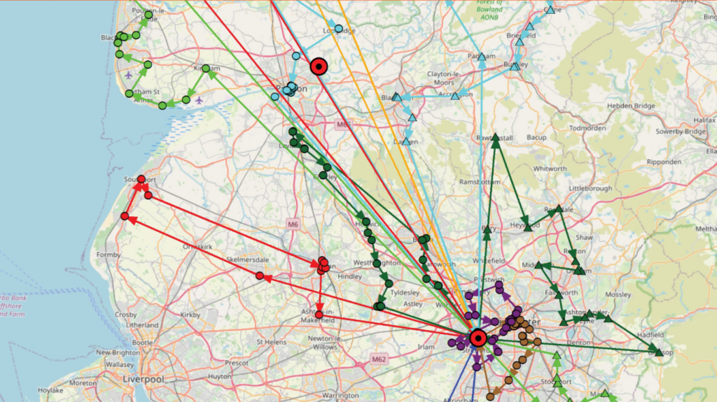
DX required an in-house route optimisation software tool to improve efficiency and deliver savings for their vehicle fleet. The company worked with ISL, a RouteSmart partner and leading UK provider of routing and route optimisation software, to investigate mixed service routes, the potential for merging depot locations, and adaptations needed to meet changing contract commitments.
With comprehensive training and mentoring from ISL, the DX team built a core competency in route optimisation using RouteSmart for ArcGIS. ISL supplied cloud-based HERE street data, including all Road Routing Information (RRI), then DX combined it with historical delivery-day data to plot accurate service locations (delivery points) in RouteSmart.
Combining RouteSmart route optimisation skills with the local knowledge of site general managers, DX formulated detailed plans at a postcode sector level to inform the forecasting of resource availability for individual managers and their depots.
The postcode sectors element remained crucial in planning activity as DX sorts the items it handles at depots by postcode. The DX team meticulously cleansed and took steps to improve the maintenance of data quality in the set-up process. After comparing the new data to the Ordnance Survey datasets,
DX conducted final checks. They then created an automated set-up process to combine all the required data and coincide with project workflows to create a ‘RouteSmart-ready’ project data file.
DX tackled the routing delivery points issue within established time-windows and the timing of depot sorting with multiple approaches, including capacity measuring exercises using RouteSmart’s time windows functionality and the creation of new routes from scratch.
“With comprehensive training and mentoring from Integrated Skills,
the team at DX built a core competency in route optimisation using RouteSmart for ArcGIS.”
THE SOLUTION
A detailed modelling exercise showed DX employees using RouteSmart working with ISL could achieve 10–12% REDUCTION IN COSTS AND ROUTES across all 32 depots. DX conducted the modelling on approximately 420,000 weekly stops. RouteSmart proved its worth and a multitude of plans using the tool for the next financial year have been created. The outcome delivered cost reduction objectives and a seamless transition at the operational level without customer service disruption.