

Driving Public Sector Excellence: RouteSmart Earns Esri State and Local Government Specialty
RouteSmart officially earns the Esri State and Local Government Specialty designation, reinforcing our commitment to delivering smarter, ArcGIS-integrated routing for municipal agencies and public works fleets.
– 3 Min Read
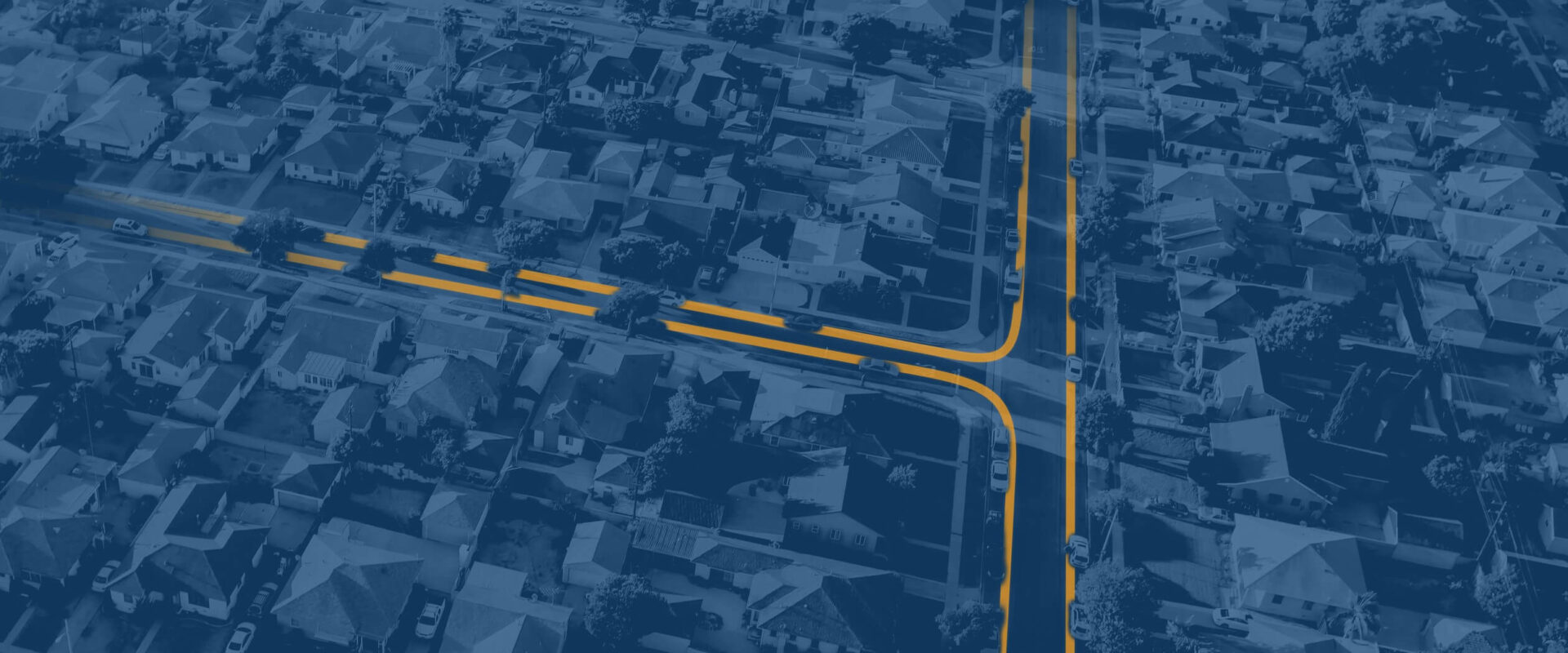
RouteSmart is proud to announce that it has officially earned the Esri State and Local Government Specialty. This formal designation from Esri recognizes RouteSmart’s deep industry domain expertise, proven track record, and long-standing dedication to developing powerful route planning tools integrated directly with ArcGIS technology.
Empowering Public Sector Agencies with Intelligent Routing
State, municipal, and regional agencies face continuous pressure to deliver high-quality public services while navigating constrained budgets, driver shortages, and stringent safety standards. From high-density residential waste and recycling collection to winter snow plowing, street sweeping, and utility maintenance, public sector teams require precise logistics built for complex geographic networks.
The Esri State and Local Government Specialty distinguishes Esri business partners who demonstrate a thorough understanding of municipal workflows and have proven they can deploy dependable, end-to-end solutions. Earning this specialty confirms that RouteSmart is a trusted partner for public sector leaders seeking to modernize operations, enhance cross-departmental collaboration, and maximize their existing GIS investments.
Amy Garner, Partner Manager, Commercial Sector at Esri, said she was delighted to see RouteSmart reach this milestone.
“Through the process, I learned how much customers value RouteSmart’s solutions,” Garner said. “RouteSmart has built a strong track record in this space, and this designation highlights its dedication to ArcGIS technology and continued commitment to helping state and local agencies make smarter routing decisions with reliable tools.”

Transforming Municipal Operations Through GIS Integration
By uniting Esri’s enterprise-grade mapping and spatial analysis with RouteSmart’s advanced route optimization algorithms, local governments can solve their most complex routing challenges. Key benefits for public agencies include:
- Optimized Fleet Workflows: Streamline route structures to minimize redundant mileage, lower fuel consumption, and reduce vehicle wear across public works fleets.
- Enhanced Safety and Local Constraints: Account for specific road restrictions, turn prohibitions, school zones, and localized traffic patterns to ensure safer routes for drivers and residents.
- Seamless Interoperability: Leverage authoritative ArcGIS data directly within routing workflows without requiring complex data exports or manual translation.
Looking Ahead
As municipal infrastructure and community needs continue to evolve, RouteSmart remains dedicated to providing state and local agencies with intelligent, reliable tools that drive measurable operational success.
To learn more about how RouteSmart supports state and local government agencies with ArcGIS-integrated route planning solutions, go to www.routesmart.com.