Side of Street Geocoding: Evaluating Solutions for Public Works Route Optimization
Geocoding is the conversion of a location’s description – an address, a pair of geographic coordinates, or a specific place – into a location on a digital map.
Eliminate the Guesswork with Side of Street Geocoding
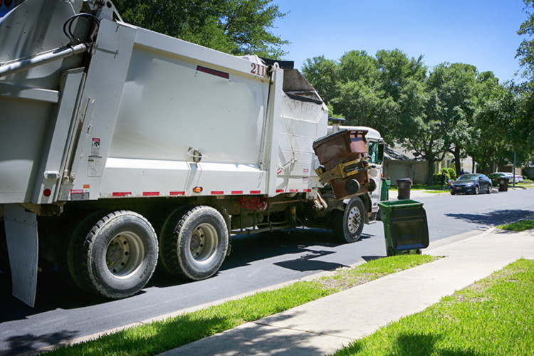
Geocoding is the conversion of a location’s description – an address, a pair of geographic coordinates, or a specific place – into a location on a digital map. Geocoding gives waste management companies precise and reliable customer location information.
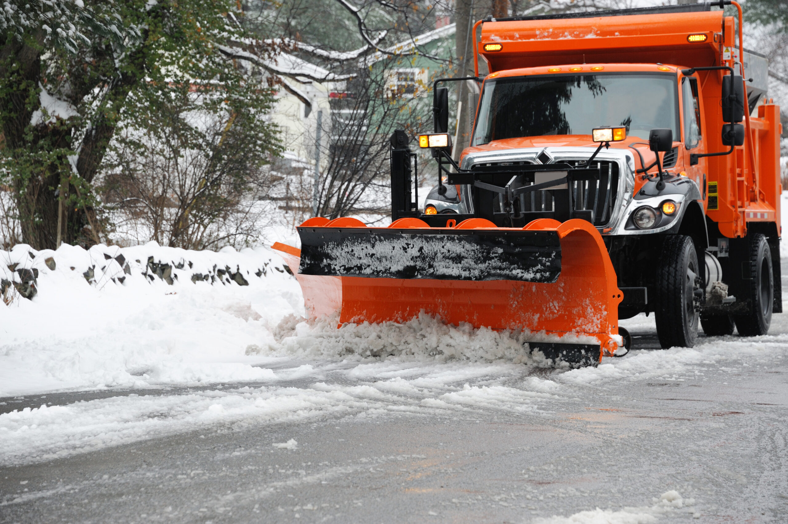
An accurate system for automated geocoding also enhances route optimization results – a process that starts with the best street data from HERE. Getting the container collection points accurately represented on a map is a critical first step. If the system you are evaluating can’t do this well, you should stop there and explore other options.
Inaccurate Depictions Abound
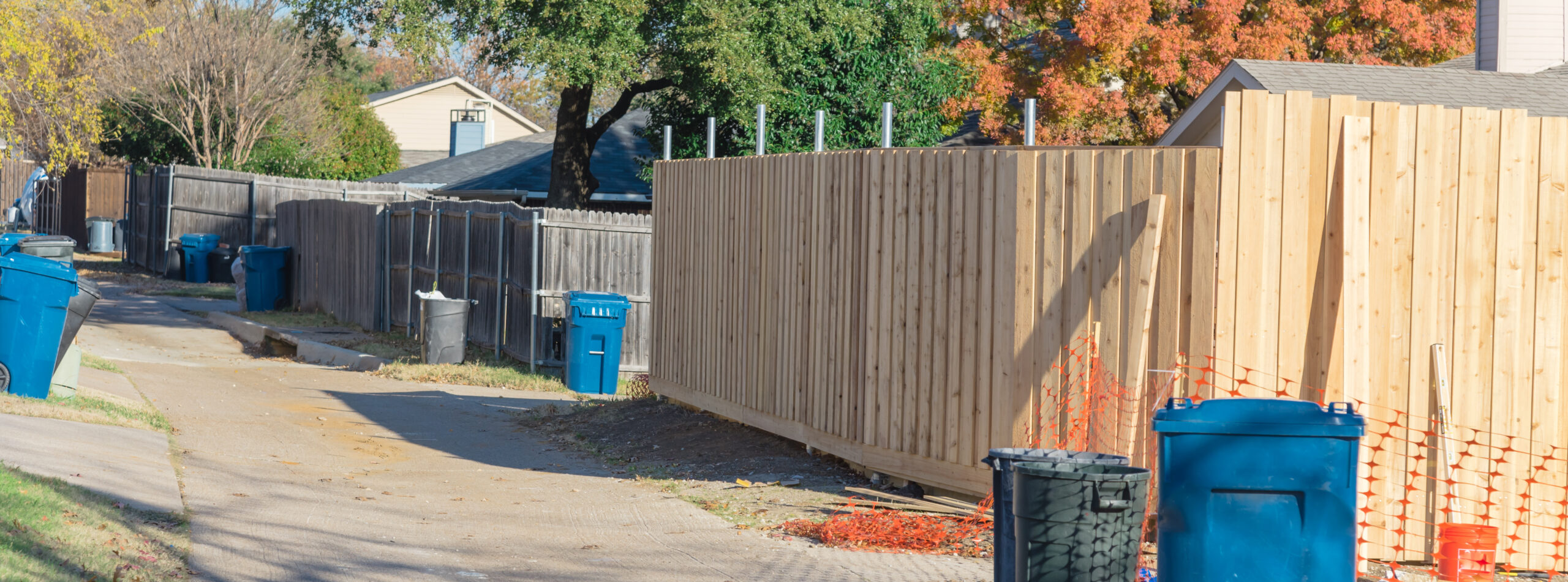
Many route optimization packages on the market will geocode the service locations that your drivers visit, but these depictions aren’t very accurate or precise.
For example, the software may only get the truck within a block or a few hundred feet of where it’s supposed to be, putting the burden of guesswork on the shoulders of a driver who may not be familiar with the specific route or area.
This is where side of street geocoding comes into play. Rather than simply dropping the geocode into the centerline of the street in question (much like the pin you see on Google maps), your solution should show the precise coordinates of the customer’s home or business.
Logical Addresses Versus Guesstimates
HERE street data provides actual address ranges versus a logical address range. So, if your driver is proceeding down Main Street, the solution will factor in the length of the block and the number of structures on it and then come up with the most realistic placement for the address in question, based on the actual range.
With RouteSmart Technologies and HERE street data, you will improve the accuracy of automatic geocoding, reducing manual rework later and creating a better baseline for your routes going forward.
Want to know more about our side of street geocoding capabilities? Please contact me at jcearfoss@routesmart.com.
Catch up on this series:
YOU NEED ROUTING AND NAVIGATION SYSTEMS THAT HANDLE SIDE-OF-STREET, HIGH-DENSITY ACCURACY
Read More
Ready to get started.
Get in touch with us.
Contact Us